Special Air Service
Located in the heart of the Fiji Islands, today are fully compliant RPAS operator in Fiji. Providing GIS and drone services, transforming real-world scenarios into digital assets.
Our story wasn't an ordinary tale of someone simply deciding to buy a drone and jump straight into business.
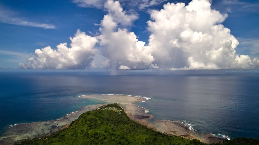
The story began right in the midst of the COVID pandemic in April 2021, when we found ourselves stranded in lockdown on the island of Taveuni in Fiji. Where we were approached to assist with a 300-acre terrain survey of prestine mountain rain forest and several water streams in the most remote corner of the island. Due to pandemic restrictions, no other surveyors were able to reach the location at that time.
Starting that, we had limited to no experience in aerial mapping, large-scale aerial land surveys, and processing large geospatial datasets. Our previous experiences had been confined to smaller areas that were easily accessible. However, this project presented complexities related to crossing of the international date line, rough, mostly impassible tropical forest terrain, limited resources and truly remote locations. We rose to the challenge and it wasn't easy.
The year 2021 proved to be the time of rapid learning. We were physically isolated from the rest of the world having electricity from a diesel generator only from 6 PM till 6 AM. During that challenging time, we managed to acquire a great deal of knowledge and invaluable practical skills in field mission planning and processing large datasets of geospatial data.
We learned a lot. A lot of "How to" and "Know how"
- How to deploy Open Drone Map clusters.
- How to set up and utilize our own cloud-based map stitching facility.
- How to collect in a single day a 120-hectare dataset with just one DJI Phantom 4 Advanced drone and two spare batteries.
- How to efficiently organize drone operations in the field and always bring outstanding results.
- How to process vast datasets of high-resolution images independently.
- How to reconstruct and create 3D models of the terrain from the aerial data we captured.
- We designed and assembled a portable solar charger for our only two drone batteries, allowing us to fly and recharge in the field, miles away from any source of electricity.
- We experienced a drone crash but managed to fix the high-precision camera gimbal in a dusty, hot shed using a rusted vise and a hammer. And, of course, we gained extensive practical experience in the field.
Looking back, we realized that the journey of our first year was truly epic.
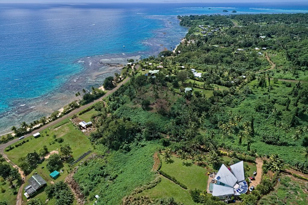
As pandemic eventually faded and lockdowns were lifted, we were free to go anywhere. However, we discovered that we wanted to continue doing what we love doing most — flying drones, taking on challenging projects, and excelling in our passion — right where we were, in the less populated and developed Northern Division of Fiji.
In 2022, we upgraded our drones to survey grade equipment, that deliver centimetre accuracy results, capable of covering hundreds of acres in one day. We embraced challenging aerial mapping and hundreds of acres observation flights projects in remote, undeveloped environment.
Todau we are GIS and drone service consulting company, currently based in Taveuni, Fiji. We are fully compliant, licensed, insured and CAAF-authorized for commercial drone service.
Our operations primarily focused in the Northern Division of Fiji, serving local communities, land owners, farmers, real estate and tourism industry.